**India Responds to “Greater Bangladesh” Map Controversy**
India’s Ministry of External Affairs (MEA) has addressed concerns following the emergence of a map depicting a so-called “Greater Bangladesh,” which includes parts of India’s Northeast, West Bengal, and regions of Bihar, Jharkhand, Odisha, and Myanmar’s Arakan state. This map was displayed at Dhaka University during an exhibition on April 14, coinciding with Pohela Baishakh, the Bengali New Year. The event was organized to showcase the history of the Bengal Sultanate.
The issue was raised in the Rajya Sabha by Congress MP Randeep Singh Surjewala, who sought clarity on India’s diplomatic response to the situation. In a written statement, External Affairs Minister S. Jaishankar acknowledged reports regarding the Islamist group “Sultanat-e-Bangla,” which is allegedly supported by a Turkish NGO, the Turkish Youth Federation. The group reportedly showcased the controversial map, which has since circulated widely on social media.
Despite the uproar, the MEA highlighted that BanglaFact, a fact-checking platform of the Bangladeshi government, found no evidence of the “Sultanat-e-Bangla” group being active in Bangladesh. The exhibition organizers have also denied any links to foreign political agendas.
When questioned about whether the Indian government had engaged diplomatically with Bangladesh or Turkey regarding this matter, the MEA did not provide specific details on any diplomatic actions taken. Surjewala further inquired about the potential involvement of Turkey and Pakistan in Bangladesh and its implications for India’s national security, particularly in the Northeast. The government assured that it is closely monitoring developments that could affect India’s security landscape.
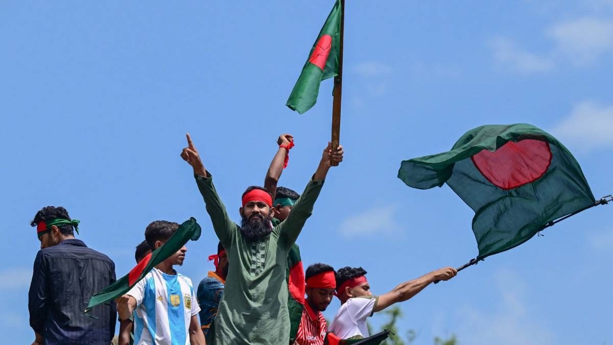
This incident occurs amid rising concerns in India regarding the influence of China and Turkey in Pakistan and Bangladesh. The backdrop includes increasing anti-India sentiment in Bangladesh, particularly following the ousting of Sheikh Hasina last year. Her choice to seek refuge in India has further complicated relations between Dhaka and New Delhi, with narratives suggesting that India has been supporting Hasina’s authoritarian regime, which has fueled anti-India sentiments.
Additionally, Bangladesh appears to be deepening its ties with China, as evidenced by significant investments in various Belt and Road Initiative (BRI) projects. However, the recent map controversy has not gained substantial traction within Bangladesh, with both the government’s fact-checking body and the exhibition organizers distancing themselves from any provocative implications.
**FAQ**
**Q: What was the controversy surrounding the “Greater Bangladesh” map?**
A: The controversy arose when a map depicting an expanded Bangladesh, including parts of India, was displayed at an exhibition in Dhaka University, leading to diplomatic concerns from India.